“Let us guide your next project to success!”
Expert Land Surveying in Yolo County, Woodland, and Davis. Serving Northern California with Precision.
Cardinal Land Surveying provides precision-driven surveying solutions for residential and commercial projects across the Northern California and surrounding regions. From resolving complex residential boundary disputes in Davis to providing agricultural parcel maps in Woodland and Winters, our team combines local regulatory expertise with advanced geospatial technology.
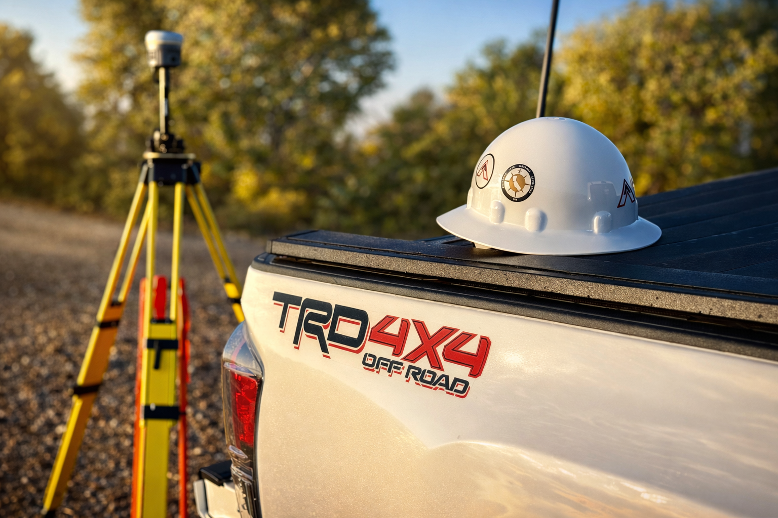
Your Local Yolo County Surveyors.
We have a deep understanding of the specific filing requirements for the Yolo County Surveyor’s Office and the Community Development departments in West Sacramento and Woodland. Whether it’s a FEMA Elevation Certificate for a home near the Sacramento River or a Lot Line Adjustment in the downtown Davis area, we know the local landscape.

Boundary Surveys
Boundary surveys are an essential part of the land development process and determine the precise location of property lines and easements on the ground. We make it our practice to be in full compliance with the laws that govern our profession, and we memorialize our work with a Record of Survey map filed with the county whenever appropriate.
ALTA/NSPS Land Title Surveys
We prepare ALTA/NSPS Land Title Surveys in conformance with current Minimum Standard Detail Requirements to include relevant site features for title insurance and property valuation. We carry both Professional and General Liability Insurance to ensure full protection for our clients and the public. Our comprehensive coverage meets the requirements of Table A.

Topographic Surveys
Identifying and accurately defining difficult terrain features is critical to supporting a wide range of project types from planning and engineering design to determining encroachments and post-construction as-built surveys. We utilize the latest technologies appropriate for each site to efficiently collect data and prepare the necessary project deliverables.
Learn More About Our Other List Of Services
At Cardinal Land Surveying, we take pride in offering a wide variety of services tailored to meet the unique needs of our clients. Whether you’re looking for precise land surveys, topographic mapping, or boundary determinations, our experienced team is equipped to provide comprehensive solutions. We invite you to learn more about what we can do for you and discover how our expertise can support your projects effectively.
Our Mission
Cardinal Land Surveying is dedicated to delivering innovative geospatial solutions that enhance communities and support responsible development. We are committed to providing value-driven land surveying services through technical excellence, professional integrity, and precise execution on every project.